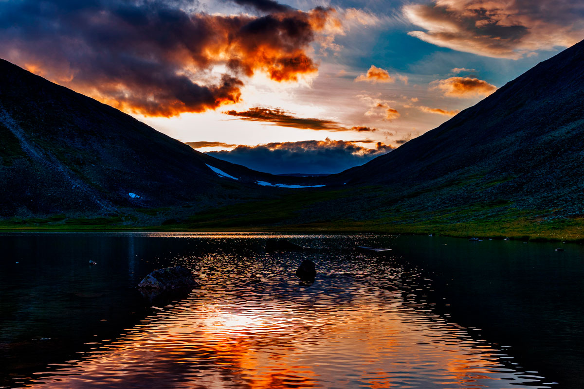
Hiking in the Subpolar Urals
the mesmerizing beauty of pristine northern nature
Tour Dates: July 28 - August 8, 2025
Hike organizer and guide on the route:
VICTORIA SHATALOVA
Professional traveler, organizer of author's tours with 16 years of experience. Has visited 39 countries of the world and 82 regions of Russia. Participant and organizer of many hikes, rafting and climbing trips, including climbing the highest and most dangerous volcano in Eurasia - Klyuchevskaya Sopka (4850 m), skiing trips in the northern and polar Urals, Murmansk region and Kuznetsk Alatau.... Read more
Itinerary day by day:
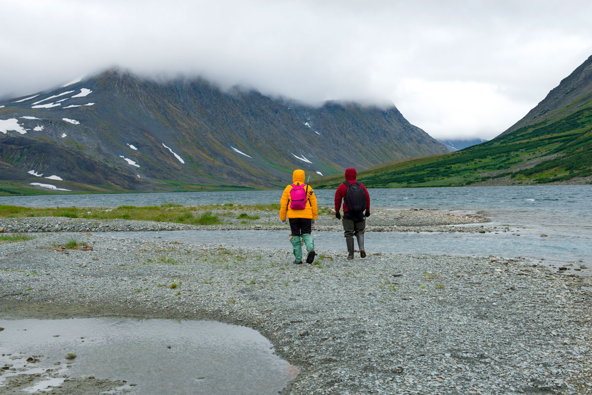
Inta city - Zhelannoye base - Balabanyu river valley
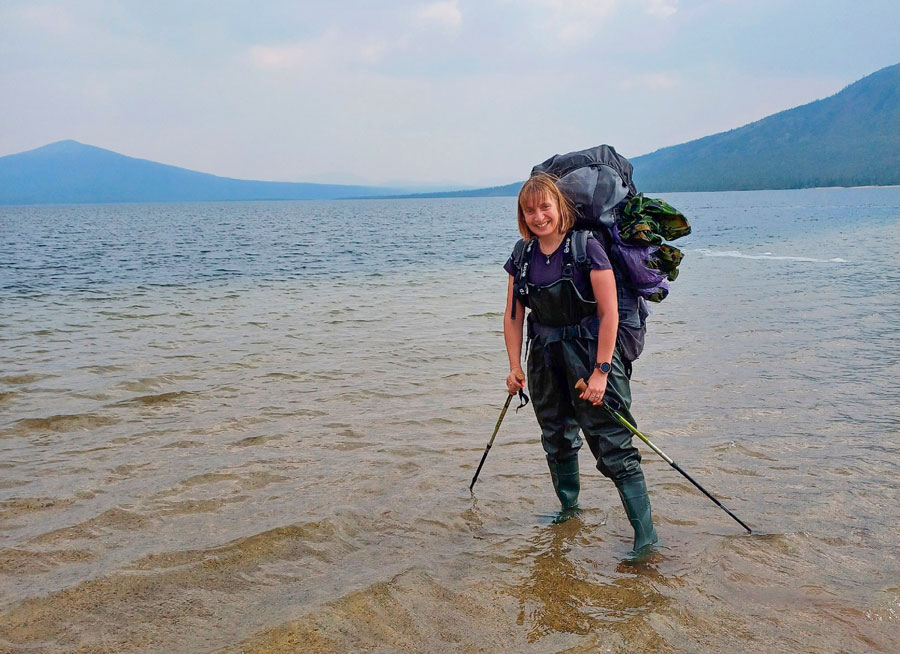
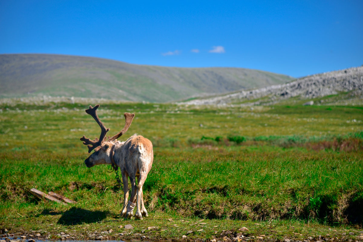
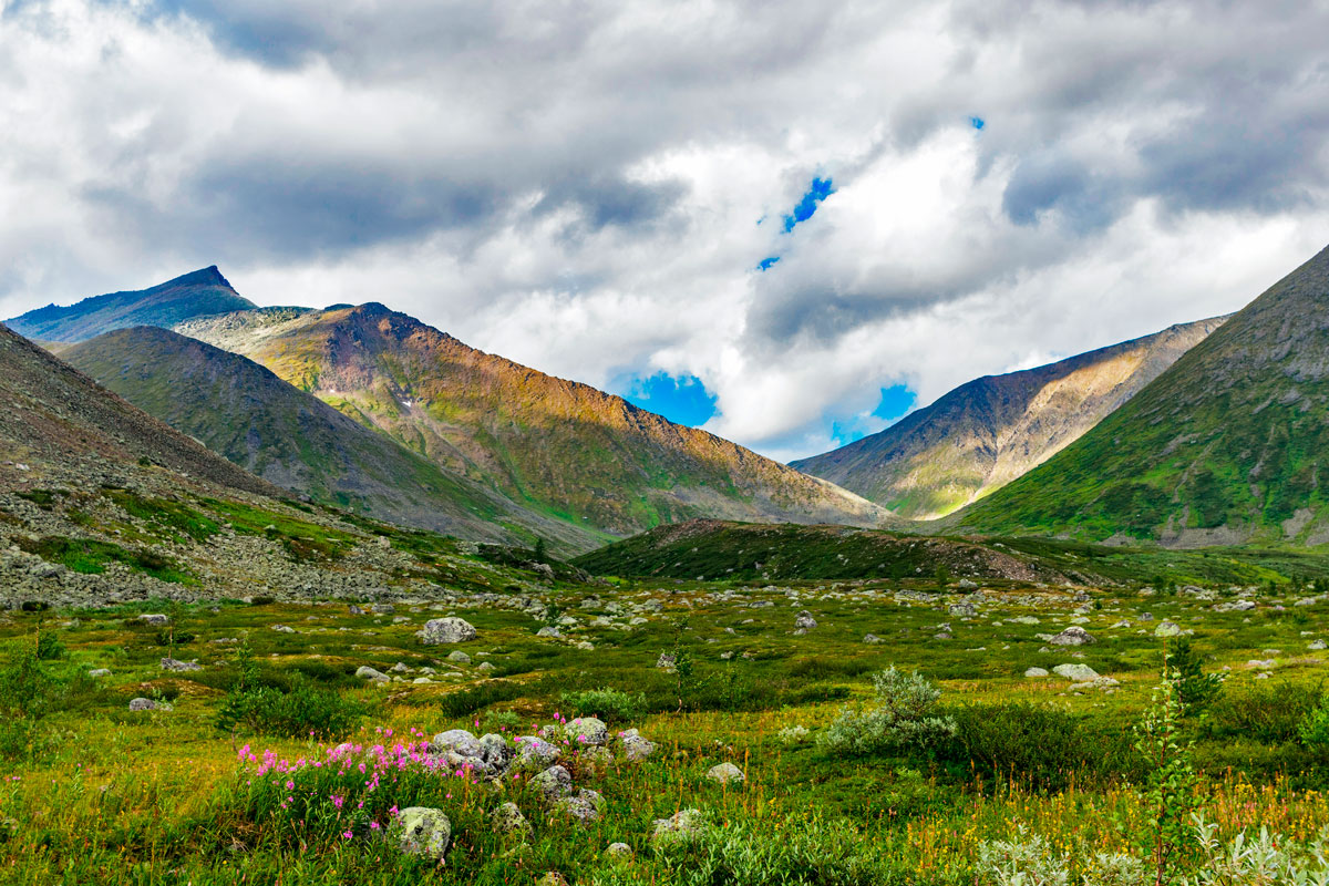
We meet at the railway station of Inta, load into the shift bus and set off to the Zhelannoye base, we have to travel 130 km, fording the Kozhim River. Upon arrival at the base, we have a snack, distribute the communal equipment and food into backpacks and set off along the Balabanyu River. On the first day, we will walk a little - about 7 km and stop for the night near Lake Maloye Balabanty, between two picturesque mountains Starik-Iz and Starukha-Iz, not far from the place where the summer camp of reindeer herders is traditionally located. These places have a long history, since ancient times nomads set up tents here. Two mountains, Starik-Iz and Starukha-Iz, had a passage called the Valley of Ancestors. This place was sacred. Lakes - Maloye and Bolshoe Balbanty are considered the patrons of reindeer herders living in these places.
Balabanyu River Valley – Bublik Lake
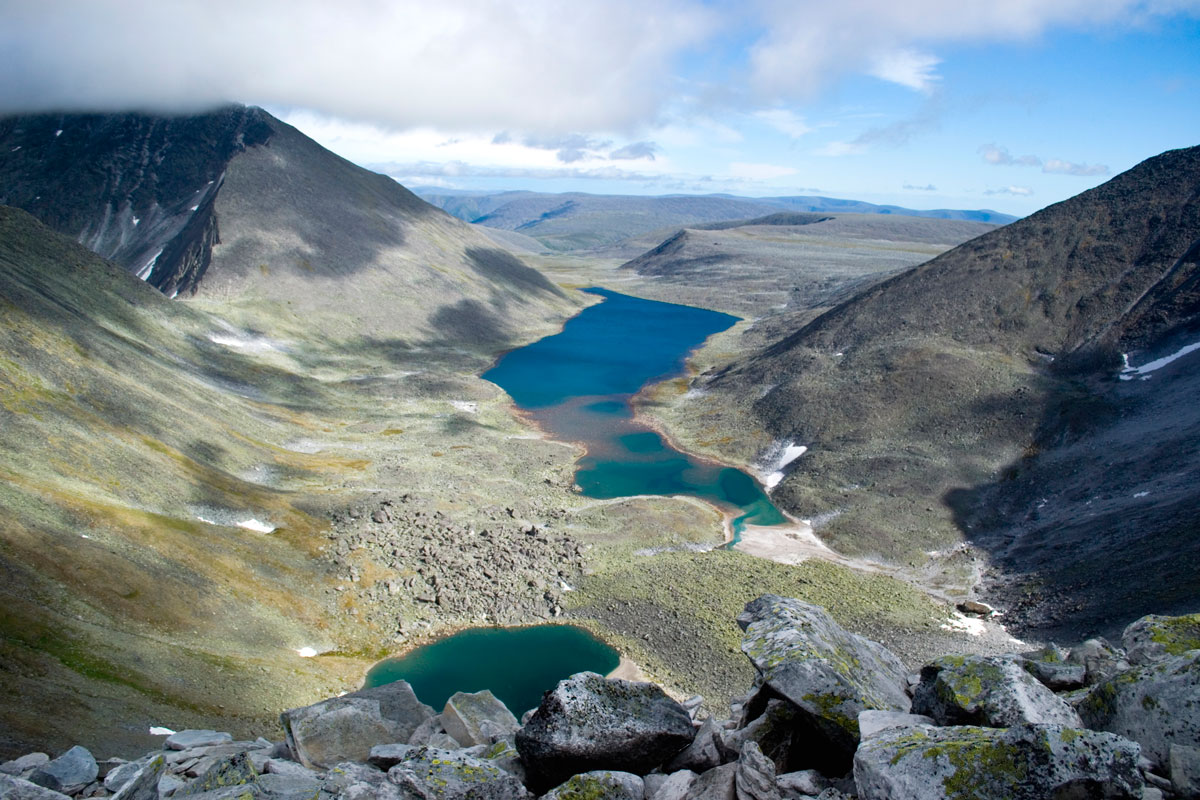
We continue our journey along the Balabanyu River. We will walk 13 km and reach a lake with the appetizing name Bublik, which received it for its shape, which we will be able to see for ourselves looking at it from above, during the ascent to Mount Narodnaya. In the meantime, we will stop for the night on its shore.
Altitude gain 450 m.
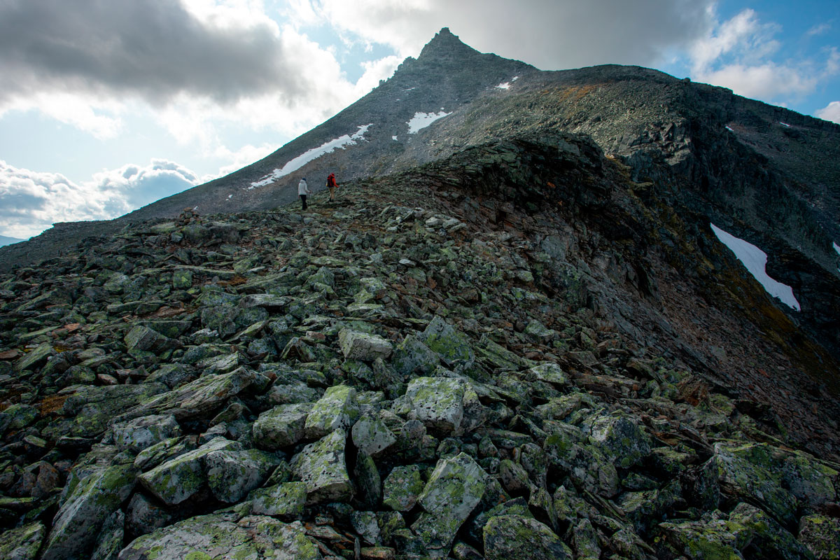
Climbing Mount Narodnaya
Climbing Narodnaya, the highest mountain in the Urals (1895 m). Since we had already climbed significantly to the lake the day before, we will have to walk about 6 km to the summit, gaining 800 m in altitude. We leave lightly, hoping for good weather, which will allow us to contemplate the views from the summit. We spend the night in the same place.
Lake Bublik – Kar-kar pass – Manaraga river valley
We cross the Kar-Kar Pass (1240 m, 1a), which offers picturesque views, enter the Manaraga River Valley and continue along it in the direction of the river. We walk 11 km, spend the night on the bank of the Manaraga River.
Altitude gain 100 m, altitude loss 600 m.
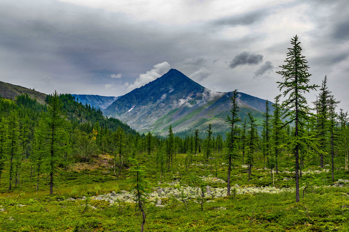
Valley of the Manaraga River
We continue moving along the Manaraga Valley. The transition this day will be relatively short and easy, about 6 km, which will give the opportunity to rest before climbing Mount Manaraga. We will set up a camp in a forest area, which will give the opportunity to make a full-fledged fire.
Elevation loss 150 m.
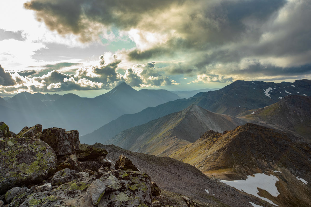
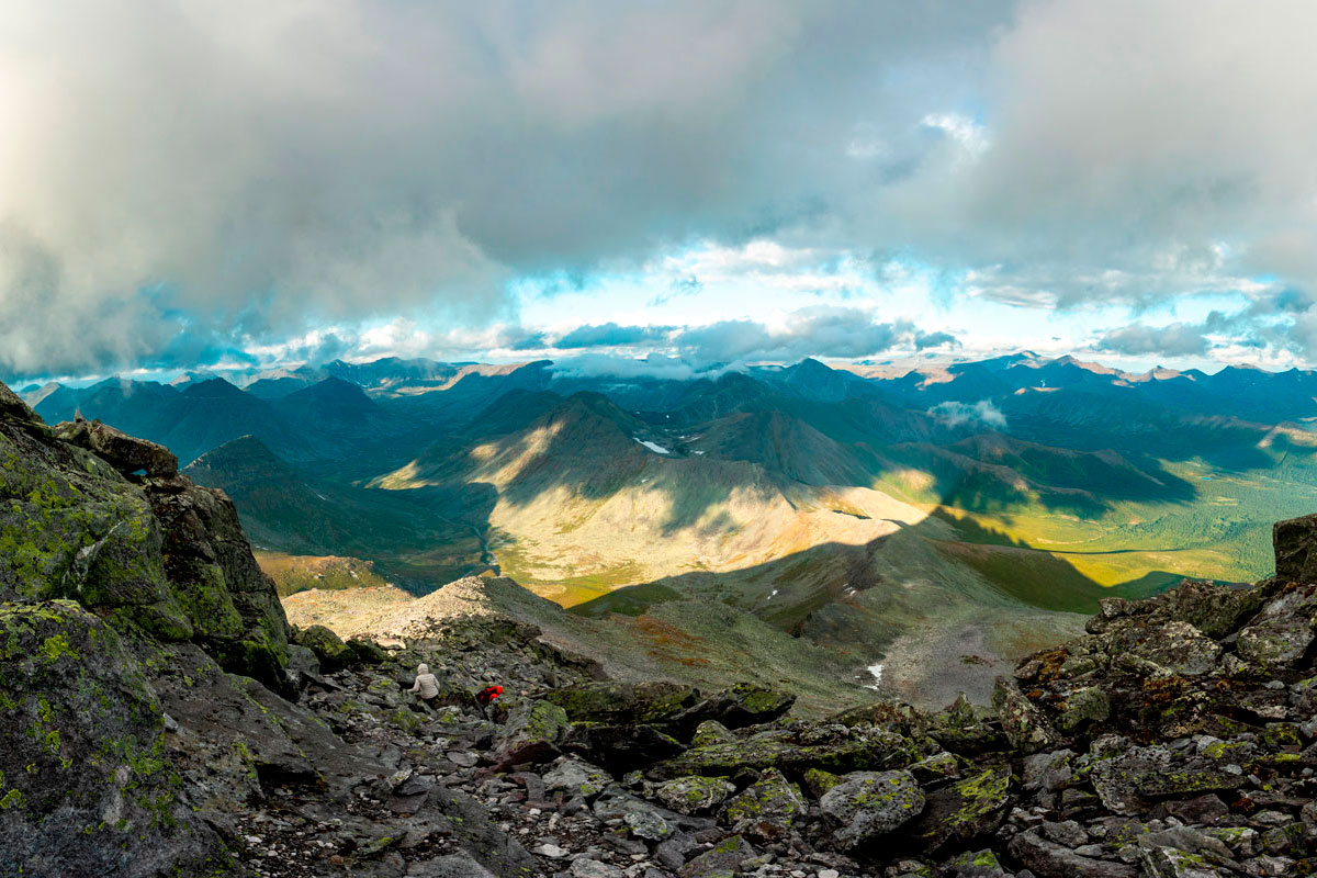
Climbing Mount Manaraga
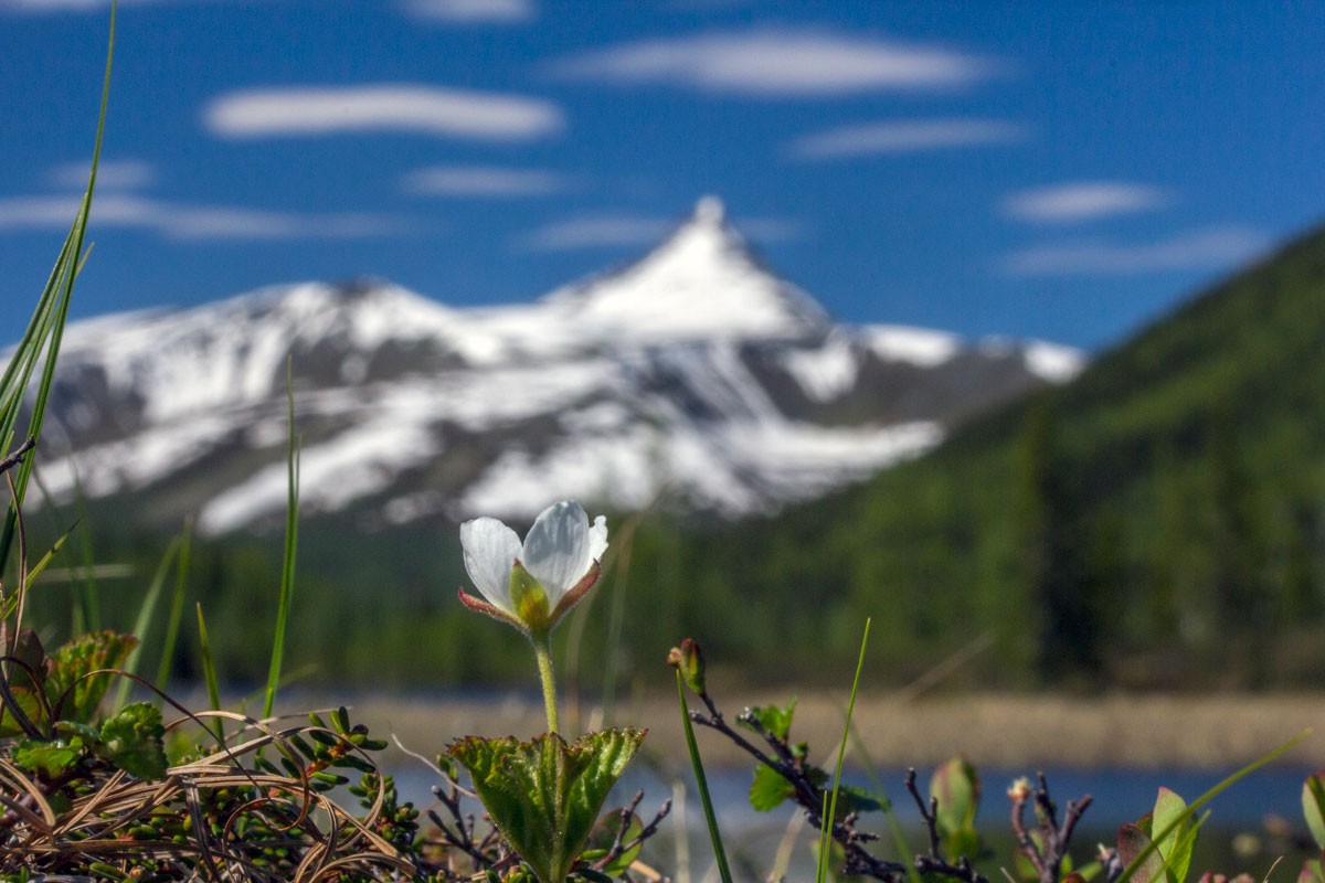
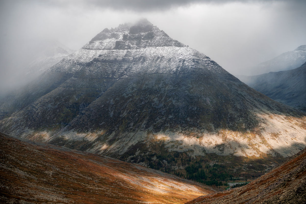
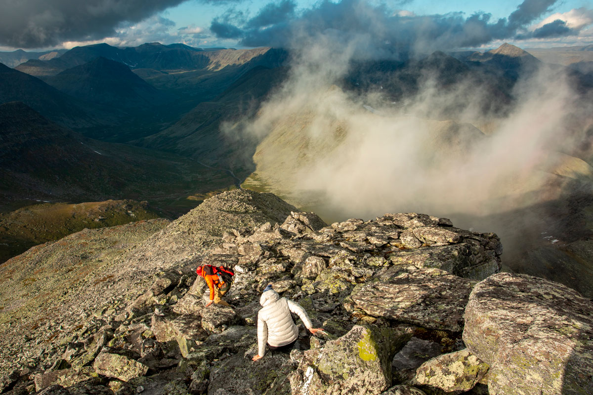
Climbing Mount Manaraga (1663 m) via the Studenchesky Pass (1080 m, 1a). To climb the mountain, you will need to gain 1100 m in altitude, overcoming fairly steep slopes made up of scree. We will climb to the first tooth of Manaraga. Climbing Manaraga is more difficult than climbing Narodnaya, but does not require special equipment. And if Narodnaya is worth going to visit the highest point of the Urals, then Manaraga is primarily because of the beautiful landscapes that can be seen from the top at all 360 degrees around. The views, in good weather, are stunning: almost all the peaks of the Subpolar Urals are visible from the top of Manaraga.
From the camp to the top is about 7 km, accordingly, we will walk 14 km in a day.
Valley of the Manaraga River – Oleniy Stream – Oleniy Pass
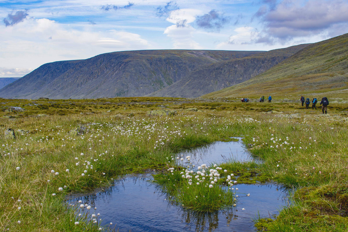
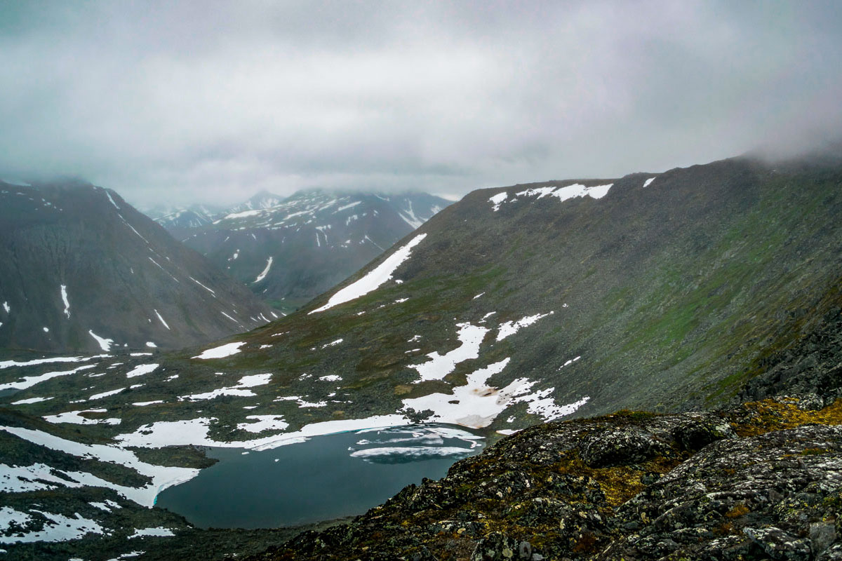
We are heading to one of the most picturesque passes of the Subpolar Urals – Oleniy (1040 m, non-categorized), for this we go back a little along the Manaraga River, and then we go to the pass along the Oleniy stream of the same name. We spend the night at the pass on the shore of one of the very beautiful lakes.
We will walk 13 km, the altitude gain is 500 m.
Oleniy Pass - Padezhavoz Creek Valley - Padezhaty Lake
We descend from Oleniy Pass to the Padezhavoz Creek Valley to Padezhaty Lake, on the shore of which we set up camp. Finding a place for camp may not be the easiest task, since the Padezhavoz Creek Valley is very swampy, but we will manage.
We will walk 10 km, the altitude drop is 350 m.
Lake Padezhaty – Mountain Angels Pass – Limbekoyu River Valley – Valdik Pass – Balbanyu River Valley
From the valley of the Padezhavozh stream we move to the Limbekoyu River Valley through a pass with a poetic name – Mountain Angels Pass (1123 m, 1a), after which we return through Valdik Pass to the already familiar Balbanyu River Valley, where we stop for the night.
14 km hike. Elevation gain per day: 600 m, descent 500 m.

Balbanyu River Valley – Zhelannoye Base
Along Balbanyu we return to Zhelannoye Base, not far from which we set up camp.
17 km hike, 200 m altitude drop.
Spare
Spare day in case of bad weather, if we are lucky with the weather, we will spend this day on a rest day.
Base "Zhelannoe - Inta city
We return to civilization in a shift bus. 130 km by car.